Sunday, August 22, 2021

Olympic National Park

 On Wednesday, July 28th, we had breakfast at the Whittaker Cafe: a pre-made, heated-up egg, cheese and sausage sandwich, with cappucino.  Not terrific, but good enough, given the lack of alternatives.

We checked out, and drove back to the Sea-Tac car rental facility by a route (state highway 7 and Interstate 5) that wasn't the shortest, but was by far the simplest.

At the airport, we took the Link light rail train into Seattle, and after a little more than half an hour, we arrived at the Westlake station, got out onto Pine Street and walked three blocks to our hotel, the Paramount, a very nice place with a terrifically helpful staff.

After checking in, we took a quick look at Pike Place Market, then went looking for new hiking boots for Mary Joy, whose old ones were causing her problems,  We ended up getting them at REI (of which we are member-owners--we like cooperatives: our electric company is a co-op, we do much of our grocery shopping at a co-op and our bank is a credit union).

We had made dinner reservations at Le Pichet, a French bistro at the Pike Place Market.  Mary Joy had marvelous salmon; I forget what I had, but it was very good.

On Thursday, July 29th, we got up early for a 7:15 pickup for our Evergreen Escapes all-day tour to Olympic National Park.  

Our guide, Sarah, went around to various downtown hotels. picking people up until the mini-van was not quite full--nine participants.  Then we drove to the Bainbridge Island ferry and made the crossing, eating a continental breakfast on the way.


We crossed over to the Olympic Peninsula, made a pitstop on the Jamestown S’Klallam Reservation, at Blyn, on Sequim (pronounced "Squim") Bay, of the Strait of Juan de Fuca, which separates the peninsula from Vancouver Island, in Canada..


Then we drove to Port Angeles, where we headed inland, to Hurricane Ridge, in Olympic National Park.  Usually, there is a ferry across the 20 miles of the Strait of Juan de Fuca to Victoria, the very British capital of British Columbia.  But COVID-19 shut down the border between the United States and Canada.

The road to Hurricane Ridge winds 17 miles, going from sea level to 5,242 feet (1598 meters).  Once there, you can look inland toward Mount Olympus and the Bailey Range, or walk up to a ridge overlooking the Strait of Juan de Fuca and across to Victoria, or hike to Hurricane Hill.  We did the first, then Sara led our group did on a loop to do the second.  On that loop, we saw a young buck, lying close to the path.


We left Hurricane Ridge and drove to the Elwha River, where we walked to Madison Falls, and then had a very nice picnic lunch, put together by a cooperative grocery.


We followed that with a visit to Lake Crescent and the Lake Crescent Lodge.


Sarah led us just off the lake to the Moments in Time Trail, through old-growth forest, with impressive trees.


Next was the Salt Creek Recreation Area, on the Strait of Juan de Fuca.  Olympic National Park is huge--922,650 acres (3,733.8 square kilometers).  It has three principal ecosystems: mountain, forest and coast.  It is not possible to see very much of the park on a daytrip from Seattle.  We saw Hurricane Ridge, but we could not get to the Hoh rainforest or the Pacific beaches, with their rock stacks.  Instead, we saw the Elwha Valley, and, now, one stack at a beach on the Strait.  On a treetop on this stack--really a small island, someone noticed a bald eagle.


Sarah demonstrated digging for clams, looking for air bubbles in the retreating wavelets.  Instead of a clam, however, she found a shrimp.


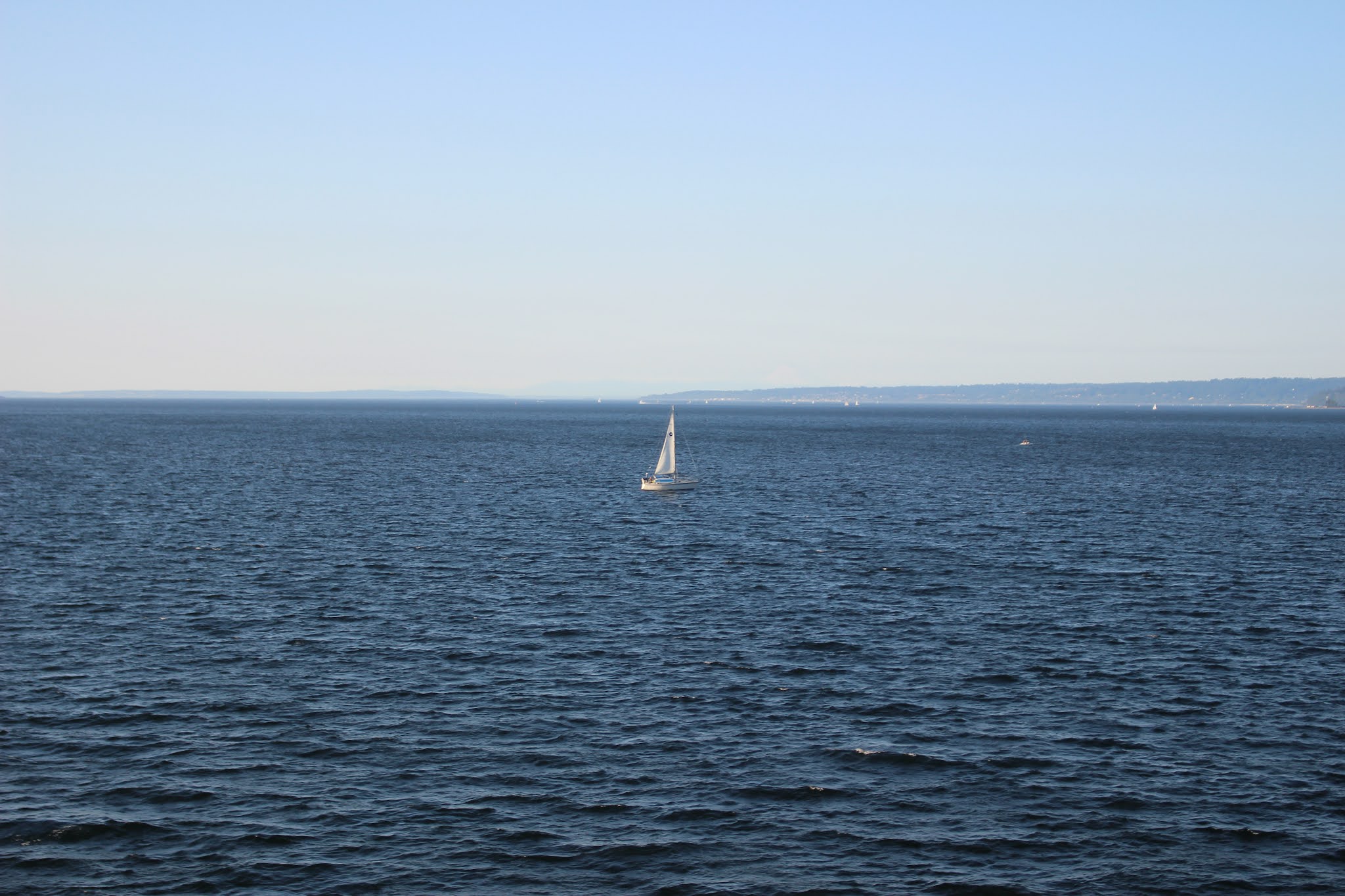
We headed back for the ferry and Seattle.


That evening, without any dinner reservation lined up, we went down the block from our hotel to the restaurant of the Hyatt at Olive 8, which had just changed its name to Tidal+.  Our meal, which, as I remember, included some little tacos, was very good.


Saturday, August 21, 2021

Paradise

 On Tuesday, July 27th, we got a late start, because of problems finding breakfast.  So, we got to Paradise around 11, and had to park on the road, across from the lower parking lot.  If it had been not too much later, or on a weekend, we wouldn’t have been able to do even that, and wouldn’t have been able to go to Paradise (ha! ha!).at all.

After more than seven miles of strenuous hiking the day before, we decided to go on more granny-friendly hikes at Paradise, instead of the area's signature Skyline Trail walk, with its 1700 foot (520 meter) elevation gain.  In the end, we decided that we had been cowards and wimps, but at that point it was too late to change our minds.

Since we were at the lower parking lot, we decided to start with a trail that begins there, the Nisqually Vista Trail ("suitable for families with strollers" says the National Park Service's "Paradise Area Trails" sheet), 1.2 miles and 200 feet elevation.

Paradise is known for its wildflowers, and we saw plenty of those.  My favorite was the avalanche lily, a little flower with six curved, white petals around a yellow center.


We then stopped by the Visitors Center, which was mostly closed, due to the pandemic.


We then took an even easier walk, to Myrtle Falls.  Many other people had the same idea.


Lunchtime!  The Paradise Inn is one of the grand old national park lodges.  Normally, it has restaurant service, but, due to the pandemic, we had to go through a grab-and-go line.  We got some sandwiches and found a place on the hotel’s porch.


Since we had done the easy trails, we decided to do a moderate trail, the Dead Horse Creek Trail.  As mentioned above, Paradise's best-known trail is the Skyline Trail, which goes up to Panorama Point and loops around and back down to the upper parking lot.  This trail is rated "strenuous," and after the previous day's hike, we didn't feel up to it.

However, it turned out that on the Dead Horse Creek Trail we got most of the up to Panorama Point, joining the Skyline Trail just short of Glacier Vista, and after the steepest part of Skyline, which we took going back down.  I would recommend the Dead Horse Creek Trail as a wonderful alternative to the western leg of the Skyline Trail.  It is less steep, with wonderful views, and known for its wildflowers.  On this trail we met an Indian family, whose daughter wanted to go up to Panorama Point, as well as a number of children.  One family had four children, including two that were very young.  They had no trouble with the trail.  As we went up toward Glacier Vista, the trail was, at points, covered with snow (this was late July, remember!).  Pressed for time, we decided not to go to Glacier Vista, and headed back down.  Had this been our first hike of the day, instead of the last, we would no doubt have gone to Panorama Point.


On the way back to Ashford, we stopped at Narada Falls and went down to the bottom.


We also stopped at Christine Falls.


We had dinner at our hotel.  It was good, but, again, service suffered from lack of staff.