This would be our last mountain hiking day, and our destination would be the longest glacier in Europe, the Aletsch Glacier (23 kilometers or 14 miles). It is up on a high plateau above the Rhone valley, just upstream from Brig. We took a half-hour train ride to Fiesch, where we went to the Tourist Information office. We knew that we wanted to take the cable car up to the
 Eggishorn, which Lonely Planet recommends as the best place to see the glacier, but we asked if there were some relatively easy but scenic walks in the neighborhood. Besides, we would like to visit Riederalp, which is also up on the same plateau—you don’t often get to go to a town named after you. If anyone happens to know of a Perozville . .
The lady at tourist information suggested an easy 1½-hour walk to an outlook over the glacier, near the Gletscherstube restaurant, which is on the shore of a glacial lake. This sounded like the beginning part of Lonely Planet’s featured 7-hour hike. Lonely Planet mentioned another, shorter route to the same place, but said that a large part of it would be through a very long, very dark (and by definition, unscenic) tunnel. It was a little disturbing when the route signs said that the Lonely Planet route would take 2½ hours, while the tunnel route would take two hours. The Swiss trail signs do tend to overestimate times, but a whole hour meant that something was not quite right.
But before then we bought two all-day passes for all the various lifts (cable cars, funiculars, gondolas, etc.) on the Aletsch Glacier plateau (half price with our Swiss Pass), then headed up from Fiesch to Fiescheralp, then all the way up to the Eggishorn. The view over the glacier across to its beginning at the Jungfraujoch, was awesome. We could see the southern (“back”) sides of the tops of the Jungfau, Moench and Eiger. After soaking this all in, we eventually went down to Fiescheralp to begin our hike.
 It was now 12:30, and the last gondola down to Fiesch would leave at 6 p.m., so we would have to be back within 5½ hours, or we’d have to walk down! We headed out, and the trail, was, indeed, very scenic and at first, not very difficult, but after 50 minutes on the trail, the sign said that we were still 1½ hours from the Gletscherstube. Not long after that, the trail finally started going up. And up. And up, on switchback after switchback after switchback. It wasn’t as steep as at the Rigi, but it seemed to last forever, and the trail was narrow, and Mary Joy was getting tired. We met several groups of Swiss coming down, and when Mary Joy expressed anxiety about the difficulty of the trail, they pooh-poohed it. A couple of women said “Ruhe” and “langsam”—“rest” and “slowly.” And then, we saw two men on bikes coming down the trail,
 riding their bikes until they came to us, and walking them around us! “Gefaehrlich!” (“Dangerous!”), said Mary Joy to one of them. “Nein,” he replied, smiling, and got back on his bike and rode down the steep, narrow switchbacks. Well, they are called “mountain bikes,” after all.
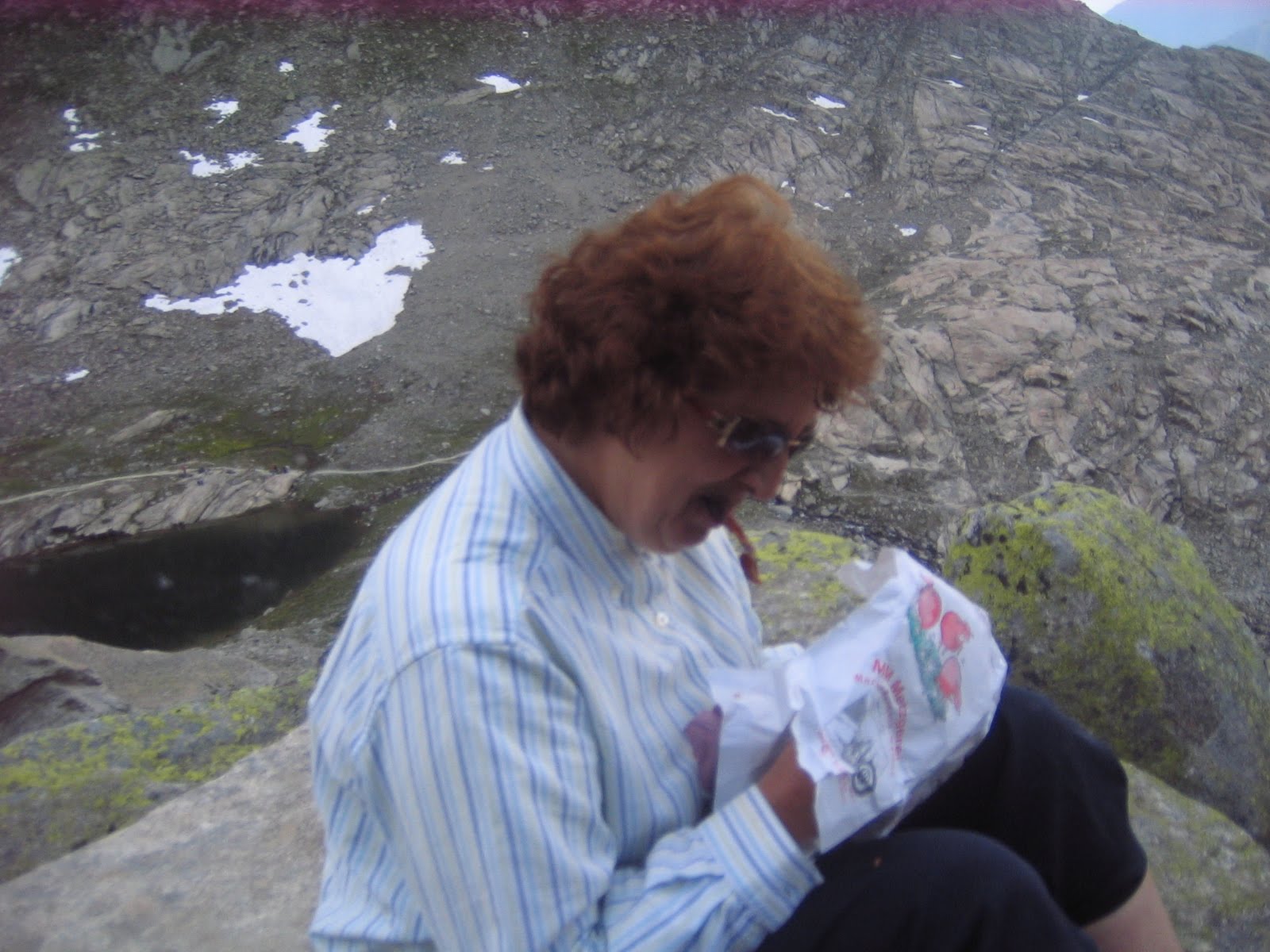
Finally, we got to the top, and things got a lot easier. However, dark clouds were beginning to move in. We got up to the Gletscherstube about 2:30, half an hour ahead of what the sign had said, but half an hour longer than the woman at the tourist information office had said. We went out toward the overlook that had been recommended, but didn’t go all the way, because the “15 minutes” on the sign pointing the way to it was becoming closer to half an hour. So we stopped, in view of the glacier, and had some dried beef sandwiches.
 Down below us, walking toward the glacier, were groups of boy scouts and girl scouts. As we finished eating, we heard thunder in the distance, then, as we headed back towards the Gletscherstube, we felt raindrops. It didn’t rain heavily, however, and we got to the tunnel, following the boy scouts and ahead of the girl scouts, before getting soaked.
The tunnel was lighted, as people we had met on the trail had assured us, but minimally. Since it had many deep puddles on the floor, with some large rocks as stepping stones, Lonely Planet’s recommendation of bringing a flashlight was a good idea, but, unfortunately, we didn’t have one on hand. Of course, the boy scouts were making loud noises as they went through. About halfway through there was a side niche, lit, with a shrine to the Blessed Virgin. I had somehow gotten the impression from Lonely Planet that it would take ninety minutes to traverse this tunnel. It actually only took about fifteen. When we got out the other side, it was not raining, but there was the occasional roar of thunder in the distance. All in all, getting back from Gletscherstube to Fiescheralp took only an hour, compared to the two hours it had taken the long way around. The woman at the information office must have assumed that we would take the short and easy route, through the tunnel.
We got back down to Fiesch, after deciding that we had time to take the train to Moerel and from there to take the cable car up to Riederalp, which we did.
Riederalp is a cute mountain resort village (with a golf course, of all things). We were there principally to take Mary Joy’s picture under a sign that said “Riederalp,” but that proved hard to do, since people who are in Riederalp apparently know that they’re in Riederalp and don’t need to be reminded of it by signs. Eventually, we found a couple of somewhat useable signs
 and took the pictures, then we walked around a little and finally had something to drink while we sat at a terrace restaurant and read the International Herald Tribune. When we took the cable car down to Moerel, it had started to rain a little, and as we ran for shelter in the railroad station, the rain started to come down in torrents. But, again, by the time we had taken the train back to Brig, the rain had ended. We had dinner at Channa again, both of us taking a salad with grilled shrimp. We liked the shrimp, but as for the salad, it occurred to me that the most important difference between Germans (including German-speaking Swiss) and Italians is that when Italians think of salad dressing, they think of olive oil, while when Germans think of salad dressing, they think of vinegar.
That evening there was a performance on the town square by a group of three accordionists. This was not the stereotypical Swiss accordion group—think guys in their early twenties wearing tank-tops, shorts and flip-flops.
No comments:
Post a Comment